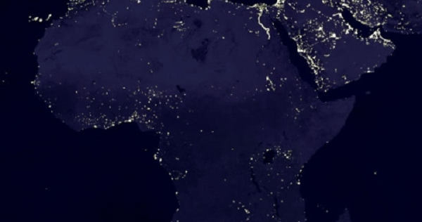
With the use of active modeling software in digitally categorizing and recognizing patterns within satellite images, a group from Stanford University is testing the validity of identifying areas of poverty through computer generated analysis of photographs. The group’s basis for testing includes five countries on the African continent.
With the variables of basic infrastructure, including buildings, roadways, and generals patterns of development coded into the program, the software searches for contrasts which cannot be identified and generates a monetary key for an area or region based on multitudinous factors and variables. It is uncertain whether or not the software can interface with individually operated UAV’s or drones in providing specific data and in mapping and isolating areas of concern. Currently, the project is focused on evaluating trends and patterns within the developing world.
Similar technology and models are currently in development for an array of projects, including evaluation of plant water requirement for use in agricultural ventures, urban planning and the stewardship of megaprojects and economic research.
Read the full article here.